

If you’re heading out into the field this summer, working in the lab, starting a new project, whatever you’re involved in - we would love to share a bit about your work on the WOMEESA blog - get in touch through Twitter or email Jess!
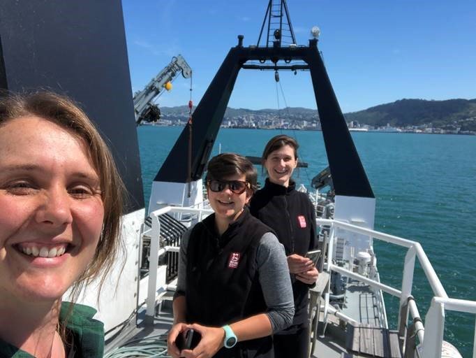
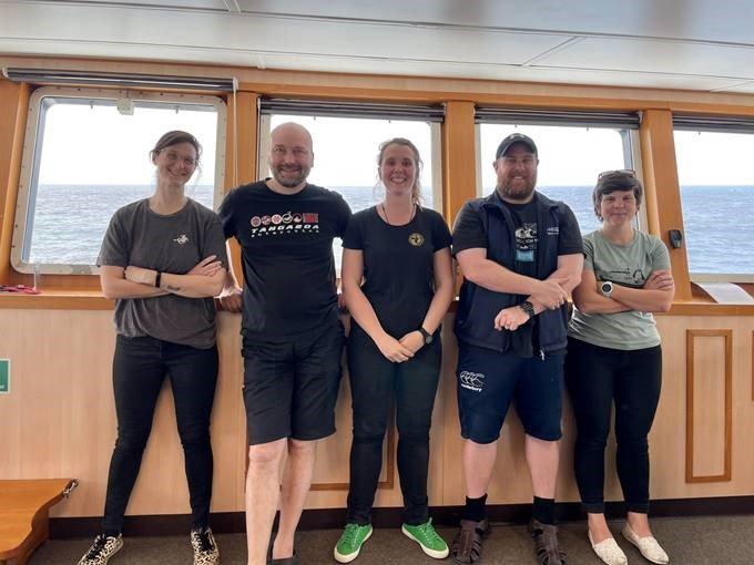
On the 22nd October, a team of kiwi scientists from GNS Science and NIWA departed Wellington on board NIWA’s blue water Research Vessel Tangaroa and headed to the Tasman Sea. This represents a rare and noteworthy occasion for a geophysics-focused project where the majority of the science party are women, including voyage leader Dr Sally Watson and co-lead Dr Jess Hillman.
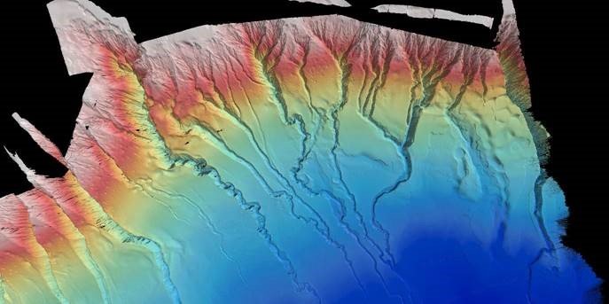
There were two main goals of the trip: 1) to map the seafloor offshore Taranaki for the first time using multibeam echosounders, and 2) to image the subsurface in high-resolution to reveal the sediment cover over a buried mega-landslide. The underwater landslide that sparked this project is the largest documented in New Zealand’s geological history, with its deposit extending more than 200 km from the shelf break. Initial modelling suggests that this mega-landslide was big enough to cause a 70 m tsunami wave at the coast, impacting coastal communities on both sides of the Tasman Sea.
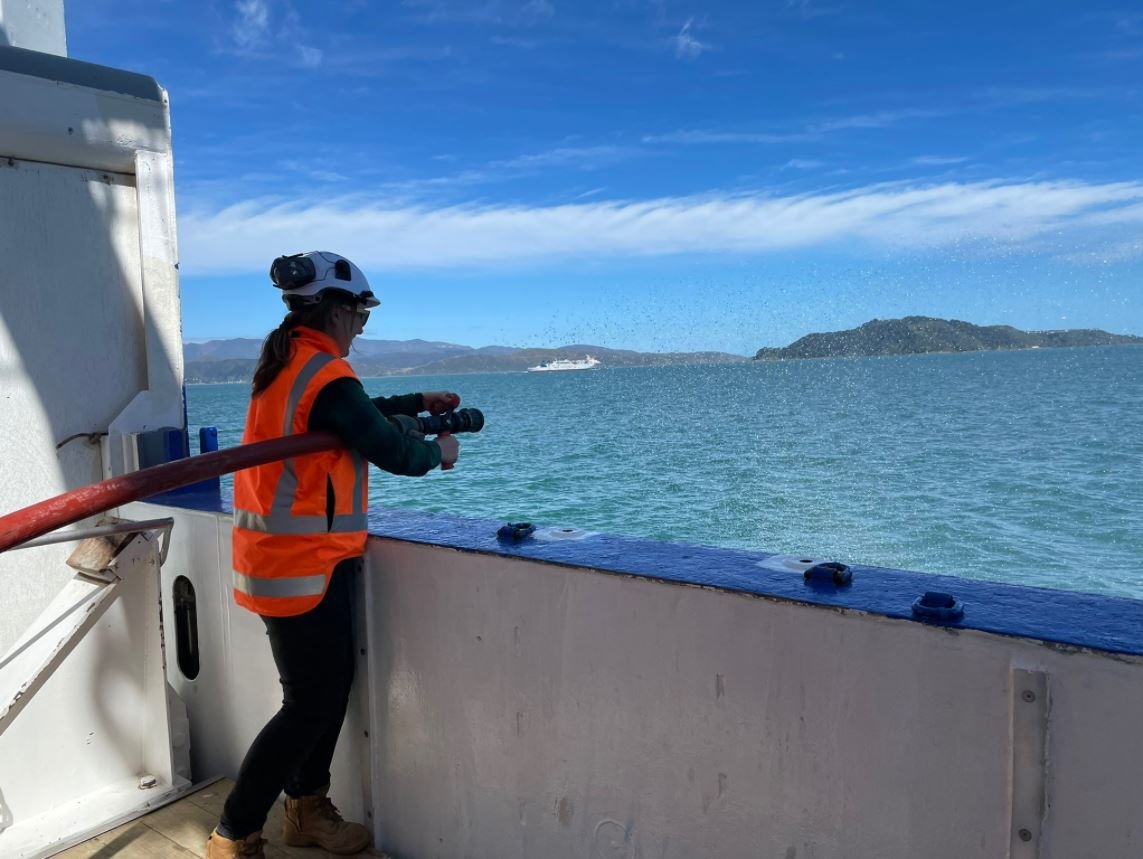
Whilst at sea, the team mapped >4,800 km2 of seafloor, revealing a series of never-seen-before underwater canyons, numerous pockmarks and a multitude of smaller-scale landslides on the seabed. This voyage represents part one of two voyages under a newly funded project, led by Dr Suzanne Bull, aiming to constrain the timing of this mega-landslide and determine whether it could happen again. The follow-up voyage is scheduled for March 2022, and will be focusing on gathering sediment cores and rock samples to assist in dating the failure event.